In Queensland you can start the day in one of the oldest rainforests on Earth, walk among strangler figs where the forest meets the reef, and finish the week on a sand island or above Whitehaven Beach. From the Daintree to the Gold Coast hinterland, here are 14 featured walks in one guide.
Trail status · October 2026
Most Queensland walks are open. In Lamington, the Caves and Gwongoorool tracks were closed for wet weather from 22 to 26 October, and storm-damage alerts run to the end of 2026; check before you walk the Border Track (6) or Box Forest (9). On K'gari, the Lake Wabby walk is under maintenance until 9 November and the wongari (dingo) breeding season runs to 30 November. The Ngaro Track (14) season ends in October. Sources: Queensland Parks alerts, Lamington National Park.
Where are the best rainforest walks in Queensland?
Queensland's best walks sit at both ends of a long coast. In the far north, the Daintree has Mossman Gorge and the boardwalks of Cape Tribulation, where rainforest runs down to the reef. In the south-east, Lamington and Springbrook protect the Gondwana rainforest of the Scenic Rim. In between, K'gari has the longest island walk in the state, and Whitsunday Island a new multi-day trail above Whitehaven Beach.
- Mossman Gorge Rainforest CircuitModerate3.4 km (2.1 mi) circuit Through lowland rainforest on Kuku Yalanji Country. Shuttle bus from the Mossman Gorge Centre.
- Baral Marrjanga TrackEasy660 m (0.4 mi) return An elevated boardwalk to a river lookout.
- Dubuji BoardwalkEasy1.2 km (0.7 mi) circuit Cape Tribulation: through fan palms and mangroves near the beach.
- Mount Sorrow Ridge TrailDifficult7 km (4.3 mi) return A steep climb above Cape Tribulation.
- Jindalba CircuitModerate3 km (1.9 mi) circuit Rainforest loop in the Daintree lowlands. Hot, humid, often wet.
- Border Track, LamingtonDifficult21.4 km (13.3 mi) one way Along the range from Green Mountains to Binna Burra.
- Python Rock TrackEasy3.1 km (1.9 mi) return A short forest walk to a lookout.
- Morans Falls TrackModerate4.4 km (2.7 mi) return Rainforest walk to a waterfall lookout. Steep in parts.
- Box Forest CircuitModerate10.9 km (6.8 mi) circuit Creeks, cascades and giant brush box trees.
- Purling Brook Falls CircuitModerate4 km (2.5 mi) return Springbrook: down past and below a tall waterfall.
- Best of All LookoutEasy600 m (0.4 mi) return Past ancient Antarctic beech trees to the edge of the escarpment.
- Twin Falls CircuitEasy4 km (2.5 mi) return Behind waterfalls and under rock overhangs.
- K'gari Great WalkDifficult90 km (56 mi) Dilli Village to Happy Valley, past lakes and tall forest. Allow eight days.
- Ngaro Track, Whitsunday IslandDifficult32 km (20 mi) Whitehaven to Hill Inlet, May to October.
Can you walk in the Daintree?
Yes, and it is unforgettable. At Mossman Gorge, on Kuku Yalanji Country, a shuttle bus runs every 15 minutes from the Mossman Gorge Centre to the gorge ($18.20 per adult in 2026). From there the Baral Marrjanga boardwalk (2) leads to a river lookout, and the Rainforest Circuit (1) loops through tall forest in about two hours. Indigenous-guided Dreamtime walks start at the centre.
Further north, across the Daintree River ferry, the forest meets the sea at Cape Tribulation. The Dubuji (3) and Madja boardwalks are flat and shady, the Jindalba circuit (5) goes deeper into the forest, and the Mount Sorrow ridge trail (4) climbs steeply for views over the reef; allow six hours. Crocodiles live in the creeks and on the beaches here, so never swim.
Is Lamington's Border Track worth it?
Yes. The Border Track (6) runs along the McPherson Range between the Green Mountains (O'Reilly's) and Binna Burra sections of Lamington National Park, part of the Gondwana Rainforests of Australia World Heritage Area. It follows the Queensland–New South Wales border through rainforest and Antarctic beech, with natural lookouts over the caldera. Allow about seven hours one way, arrange a car shuttle, and wear shoes that grip on wet roots. Watch for leeches after rain.
At Green Mountains, Python Rock (7) is a short walk to a lookout, near the Tree Top Walk at O'Reilly's. The Morans Falls track (8) leads to a waterfall plunging into a gorge, and the Box Forest Circuit (9) drops to creeks and cascades beneath huge brush box trees.
What are the best walks in Springbrook?
The Purling Brook Falls Circuit (10) is the classic walk in Springbrook National Park: down a forested escarpment, across the creek below a tall waterfall and back up the other side. Go early, before the cloud settles on the plateau. At the other end of the scale, the Best of All Lookout (11) is an easy walk to the escarpment edge, good on a clear morning.
Two other walks show off Springbrook's rock and water. The Twin Falls Circuit (12) passes behind waterfalls and under sandstone overhangs, on a path that is often wet and slippery. At night, the Natural Bridge section has a cave where a waterfall pours through the roof and glow worms light the walls. Stay on the tracks and never climb near the cliff edges.
Can you walk on K'gari and Whitsunday Island?
Yes. On K'gari, Butchulla Country and the largest sand island in the world, the K'gari Great Walk (13) runs for up to 90 km from Dilli Village to Happy Valley, past perched freshwater lakes, tall satinay forest and the creek at Central Station. Allow eight days, book the walkers' camps in advance, and buy a vehicle access permit if you bring a 4WD. The walk is generally open from March to October. Dingoes (wongari) roam the island, so walk in groups, keep children close and never feed them.
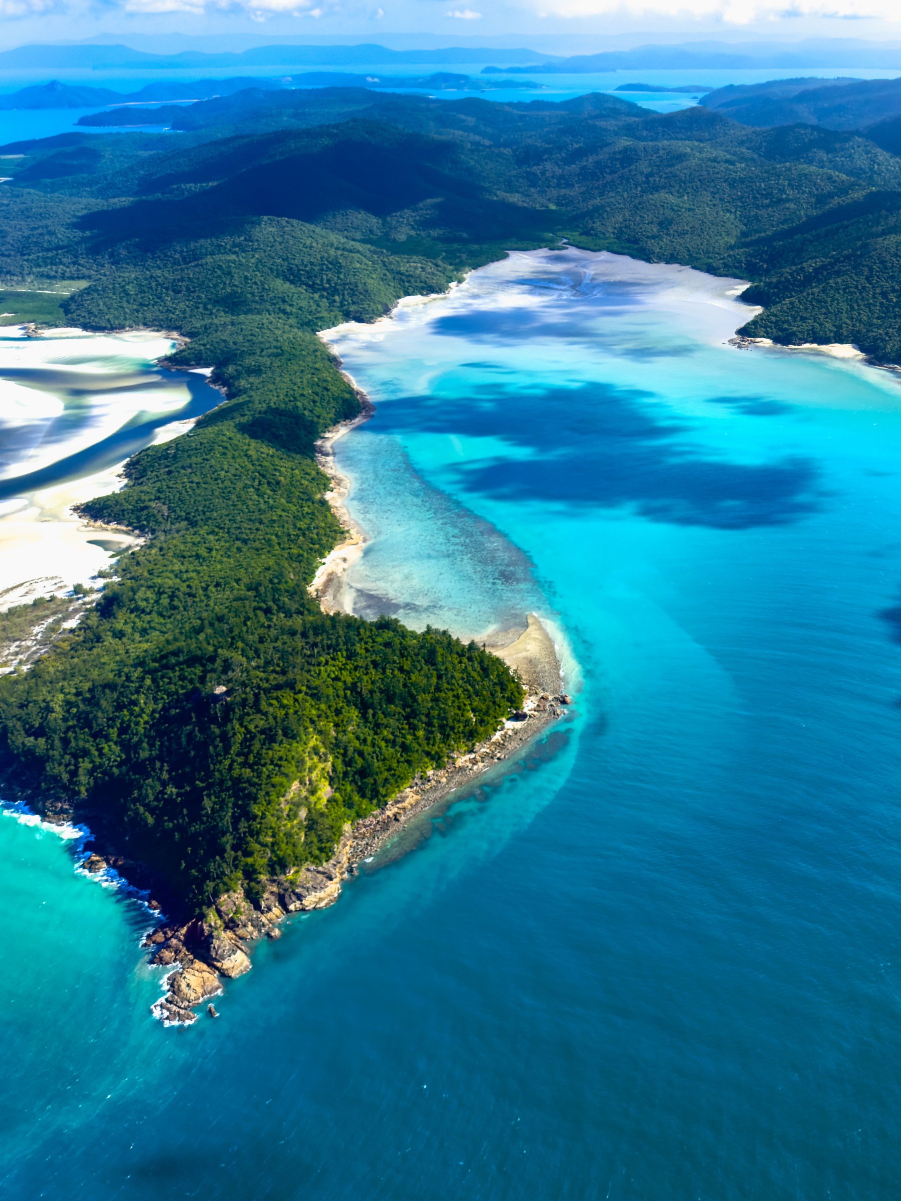
On Whitsunday Island, the Ngaro Track (14) opened in May 2026: 32 km from Whitehaven Beach to Hill Inlet, over the 353 m Whitsunday Craig, reached only by boat. Built with the Ngaro Traditional Owners, it is limited to 15 walkers a day and costs $150 for independent walkers.
When is the best time to walk in Queensland?
The dry season, from about May to October, is the best time for the tropical north and the islands: cooler, less humid and with fewer closures. The wet season, roughly November to April, brings heavy rain, flooding and stingers to the north coast, while the south-east hinterland is green all year and can be cool on top. Start early on every trail: by late morning, the heat and humidity build and storms gather.
A few rules apply on every Queensland walk. Start early, because heat and storms build over the ranges by afternoon. Carry more water than you think you need, wear shoes with grip, and turn around if a creek is rising: flash floods in the rainforest can arrive with no rain where you are standing. Stay on the track and off closed areas, keep clear of cassowaries and crocodiles, and leave rocks, plants and cultural sites exactly as you found them.
See the Queensland guide, the Western Australia and Victoria guides, and our Great Barrier Reef snorkel and dive guide.
Facts checked October 2026. Tracks close after storms, cyclones, flooding and fire danger, so check the official alerts page and the weather before you go.
- Queensland Parks and Wildlife Service: Daintree National Park walks
- Queensland Parks and Wildlife Service: Lamington walking tracks
- Broadsheet: Whitsunday Island's new multi-day walk, the Ngaro Track
- Queensland Parks and Wildlife Service: K'gari Great Walk
- Mossman Gorge Centre: Getting here and around
- Also used: Queensland Parks and Wildlife Service pages for Springbrook National Park and the Ngaro Track, and park alerts