The Northern Territory is two journeys in one: the red desert heart of the continent around Uluru and Alice Springs, and the tropical Top End around Darwin and Kakadu. It covers about a sixth of Australia, yet fewer than 270,000 people live here.
Uluru-Kata Tjuta National Park
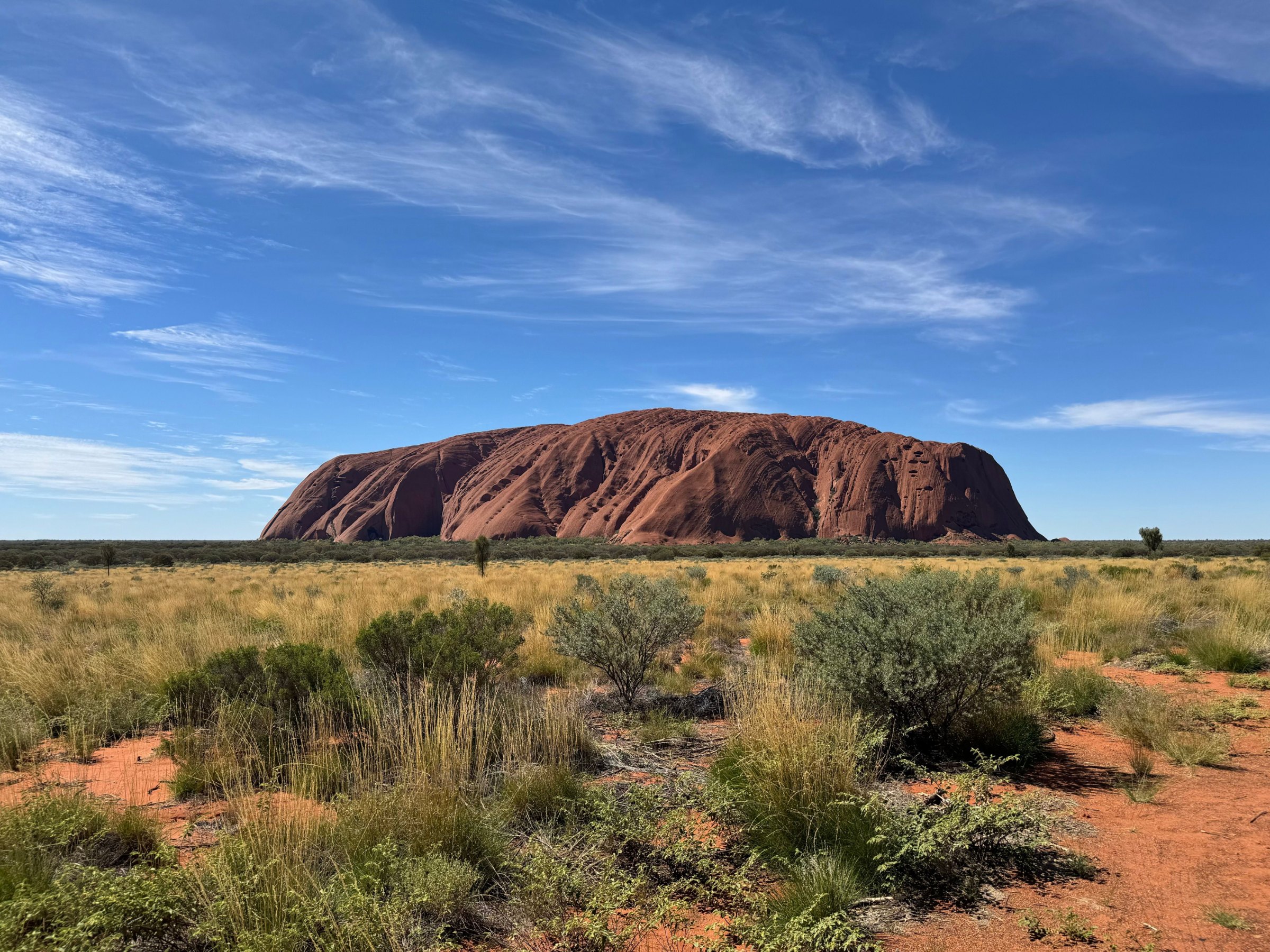
Uluru rises about 348 metres above the desert plain, and the great domes of Kata Tjuta stand on the horizon to the west. The park belongs to its Traditional Owners, the Anangu, who manage it jointly with Parks Australia, and it is World Heritage listed for both its natural and cultural values, one of few places on Earth to hold both.
The climb has been closed since 26 October 2019, out of respect for Anangu law. Walk the 10.6-kilometre base loop instead, buy a park pass before you enter, do not photograph signposted sacred sites, and in hot weather start every walk early.
Kings Canyon
Kings Canyon, in Watarrka National Park, lies a long half-day's drive from Uluru, and its 6-kilometre Rim Walk is one of the great day hikes of the Outback. After a steep climb at the start, the track follows the top of sheer sandstone walls, looking down into the canyon, then descends to the Garden of Eden, a quiet rockhole fringed with rare plants, before looping back.
The loop takes three to four hours. On days forecast to reach 36°C or more, you must start the Rim Walk before 9 am. Carry plenty of water, wear a hat, and remember that swimming in the Garden of Eden is not permitted.
Alice Springs and the West MacDonnells
Alice Springs sits almost in the middle of the continent, a desert town of Aboriginal art galleries, the old Telegraph Station and a Royal Flying Doctor Service base. West of town, the ranges hide gorges and waterholes such as Ormiston Gorge and Ellery Creek Big Hole.
The Larapinta Trail runs for more than 230 kilometres along the spine of Tjoritja / West MacDonnell National Park, from the Telegraph Station to the summit of Mount Sonder, in 12 sections.
Kakadu and the Top End
Kakadu National Park covers about 20,000 square kilometres east of Darwin and is jointly managed with its Bininj/Mungguy Traditional Owners. At Ubirr and Burrungkuy (Nourlangie), rock art galleries record thousands of years of life on Country, and in the dry season a 4WD track leads to Jim Jim Falls.
Litchfield and the crocodiles
Closer to Darwin, Litchfield National Park is known for waterfalls, plunge pools and magnetic termite mounds. Saltwater crocodiles live in rivers, billabongs and along the coast across the Top End. Obey every warning sign, keep back from the water's edge, and where there is no sign, assume crocodiles are present.
Getting around
Fly into Darwin (DRW) for the Top End, or Alice Springs (ASP) and Ayers Rock (AYQ) for the Red Centre. Darwin to Alice Springs is about 1,500 kilometres by road, so most visitors fly. The dry season, roughly April to October, is the time to go.